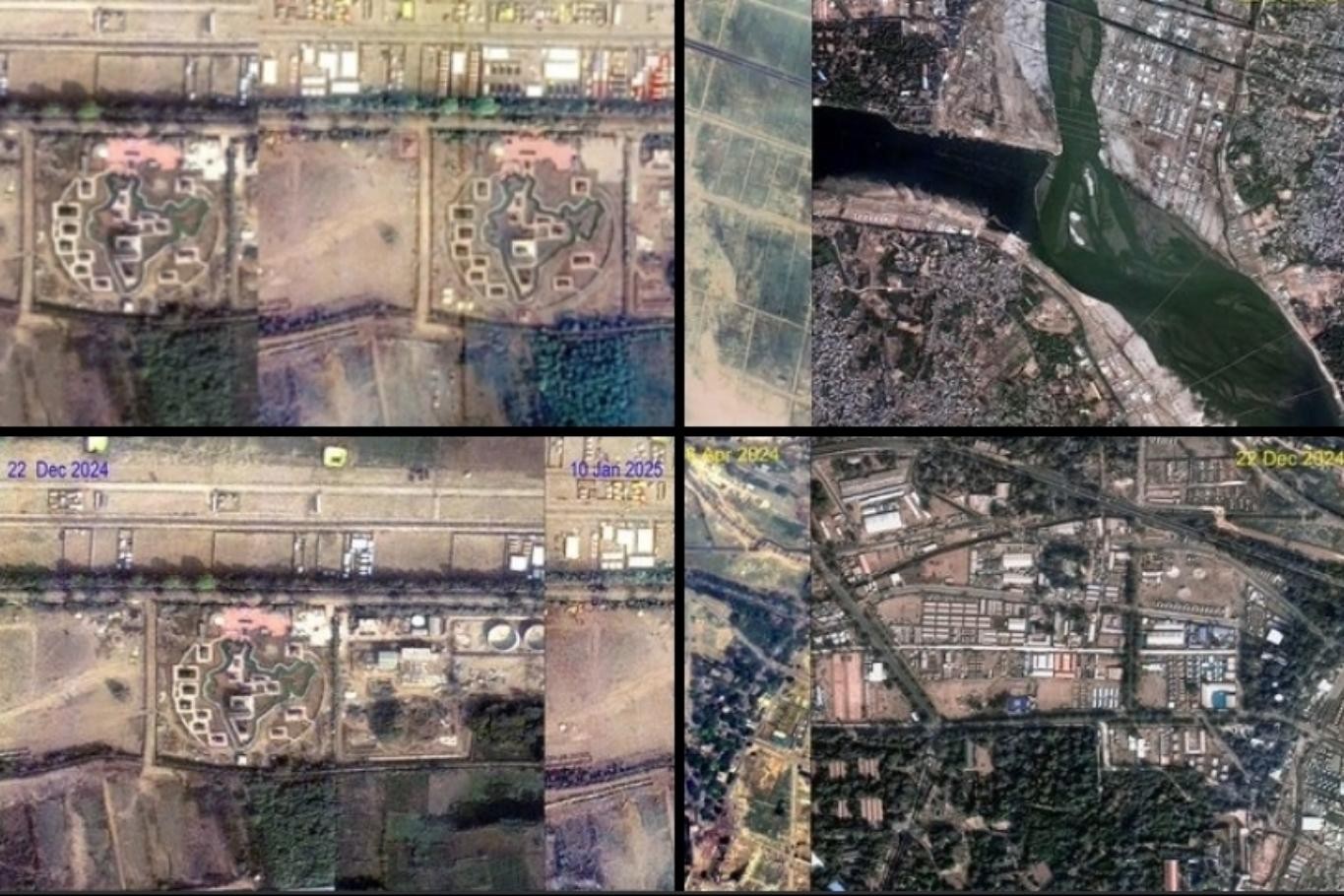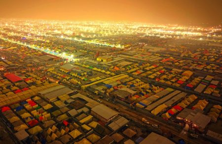
The Indian Space Research Organisation (ISRO) has unveiled stunning radar satellite images of the Maha Kumbh Mela 2025 in Prayagraj, Uttar Pradesh. Captured by the EOS-04 (RISAT-1A) satellite, these high-resolution visuals detail the event’s vast infrastructure, including tent cities, roads, and pontoon bridges constructed at the Sangam. The satellite’s advanced radar imaging overcame dense cloud cover, offering clear images of the site.
Time-series imaging from September 15, 2023, to December 29, 2024, highlighted the progressive development of the venue. Union Minister Hardeep Singh Puri shared these images on X, calling them “stunning visuals of the Maha Kumbh Mela as seen from space.” According to Dr. Prakash Chauhan, Director of ISRO’s National Remote Sensing Center (NRSC), the radar satellite’s capability to penetrate cloud cover was instrumental in capturing the event.
The Uttar Pradesh administration is utilizing these images to ensure disaster management and effective crowd control. Union Minister Jitendra Singh praised this technological advancement, noting its role in seamlessly managing one of the world’s largest spiritual events.
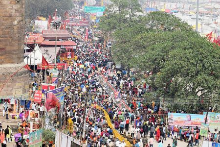
The Maha Kumbh Mela, which occurs every 12 years, commenced on January 10, 2025, and will continue until February 26. Over 450 million devotees are expected to attend, with 16 million taking a holy dip at the Sangam on Makar Sankranti alone. The satellite images also depict the transformation of the site from its pre-event state in April 2024, through its buildup in December 2024, to its current state in January 2025, bustling with millions of attendees.
ISRO’s contributions highlight how cutting-edge satellite technology can support the management of large-scale gatherings while blending tradition with innovation.


